


Voting District SUGAR GROVE VILLAGE, Fairfield County, Ohio
About
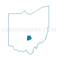
Outline

Summary
| Unique Area Identifier | 645671 |
| Name | Voting District SUGAR GROVE VILLAGE |
| County | Fairfield County |
| State | Ohio |
| Area (square miles) | 0.30 |
| Land Area (square miles) | 0.29 |
| Water Area (square miles) | 0.01 |
| % of Land Area | 95.94 |
| % of Water Area | 4.06 |
| Latitude of the Internal Point | 39.62868400 |
| Longtitude of the Internal Point | -82.54567200 |
Maps


Graphs
Select a template below for downloading or customizing gragh for Voting District SUGAR GROVE VILLAGE, Fairfield County, Ohio


